Manufacturing gridlock

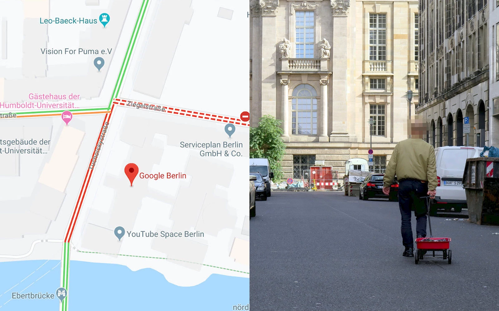
Google Maps Hack. © Simon Weckert.
Google Maps determines congestion by gathering the location and motion speed of phones in a given area. Generally speaking, those phones are going to be in the road because they’re with drivers, inside vehicles, and so measuring the phones’ speed is a reasonably decent proxy for measuring vehicle speed. Those data points, aggregated, make a road look green on the map if traffic seems to be moving smoothly, or they look red on the map if traffic appears to be severe. Google uses the same technique to estimate peak periods in stores or at the restaurant: it all comes from data sent to Google by Google-compatible smartphones. German artist Simon Weckert decided to hijack technology to show virtual traffic jams on Google Maps in real-time, walking a little red wagon piled with 99 phones on Berlin’s deserted streets. Presumably, this will impel Google engineers to tweak their algorithms in order to make them artist-proof.
⇨ YouTube, “Google Maps Hacks by Simon Weckert.”
⇨ Ars Technica, Kate Cox, “How to virtually block a road: Take a walk with 99 phones.”
