Time travel with Google Earth

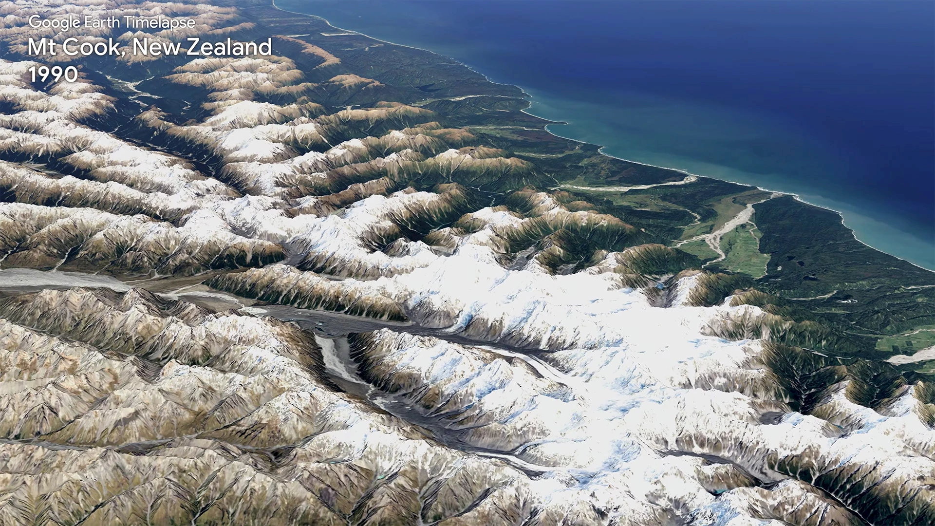
Mt Cook, New Zealand. © Google.
Witness urban sprawl, deforestation, glacier shrinkage and coastal erosion in 3D. Google introduced what it says is the “biggest update to Google Earth since 2017” with a new 3D time-lapse feature, which lets you fly around the globe virtually with a time slider that draws on satellite images from the last 37 years. To achieve this, Google gathered more than 24 million satellite images from 1984 to 2020, for a total of no less than 20 petabytes of data.
To access the feature, open Google Earth on the web, click on the ship’s wheel icon on the left, then select “Timelapse in Google Earth”. Once activated, a panel on the right displays a slider from 1984 to today and some shortcuts to locations that Google finds particularly interesting. You can also see a wide selection of videos on this page. Google wants educators, nonprofits and policy makers to use the videos to illustrate how human activity has changed the Earth’s geography. For example, seeing the retreating glaciers makes it possible to measure the extent of the consequences of global warming.
⇨ YouTube, “Exploring Timelapse in Google Earth.”
⇨ The Verge, Jay Peters, “Google Earth’s historical 3D time lapses show the ravages of climate change.”
2021-04-15
