Google improves urban GPS

© iStock.
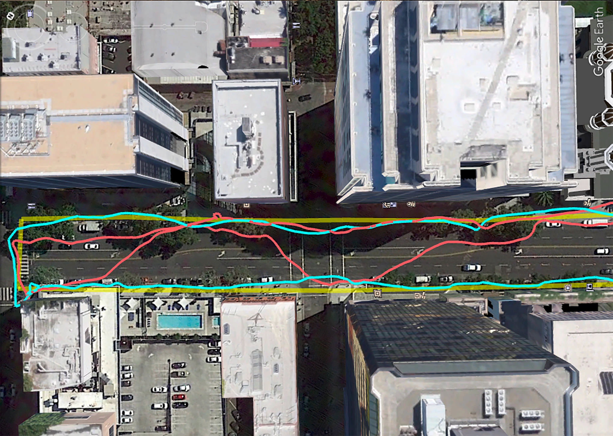
If you’ve ever used a GPS tracker like a smart watch or phone to track your outdoor exercise, you’ve noticed that your run or cycle through downtown areas is fancifully tracked, while it is far more accurate outside the downtown core or even in larger parks. That’s because the GPS signal bounces off tall buildings before reaching the ground. In areas with two- or three-story buildings, the difference is negligible, but high-rises, especially when they’re cheek-by-jowl, can wreak havoc with GPS signals. But Google is working on a clever solution to the issue: leveraging Google Maps’ 3D building data to calculate how buildings interfere with GPS, with Android’s new 3D mapping aided corrections module correcting for faulty triangulation. Google says the feature will work in 3,850 cities around the world —basically everywhere Google has 3D building data. The 3D building calculations work with American GPS, as well as with some of the major worldwide equivalents, like Russia’s GLONASS and the EU’s Galileo. The Pixel 5 and Pixel 4a (5G) get first dibs on the improved mapping feature, with deployment to the entire Android ecosystem (Android 8 or later) in early 2021.

© Google.
⇨ Ars Technica, Ron Amadeo, “Google promises “spectacular” city GPS improvement with 3D building data.”
